Region
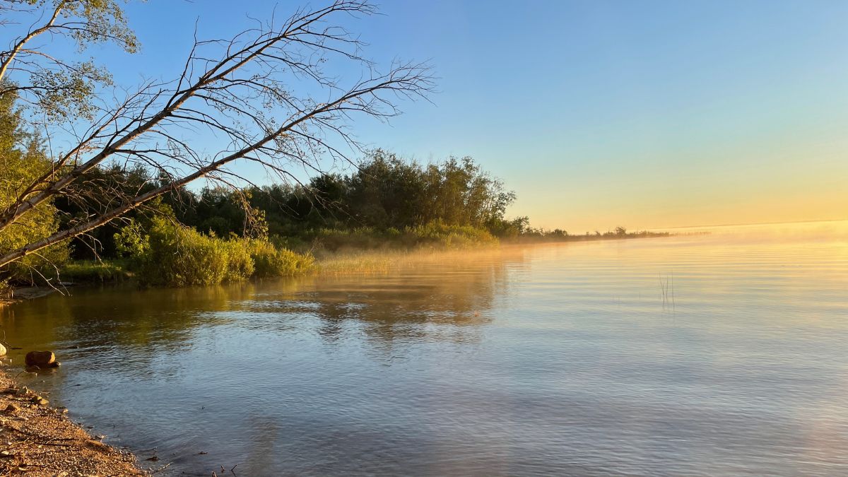
Just a couple hours north of Winnipeg lies the beautiful south eastern Interlake region—abundant with a huge variety of plants, animals, birds, and fish.
The lands and waters that make up this area are a wonderfully wild place—a boreal region of forests, wetlands, and sandy shorelines lining inlets and islands.
The People
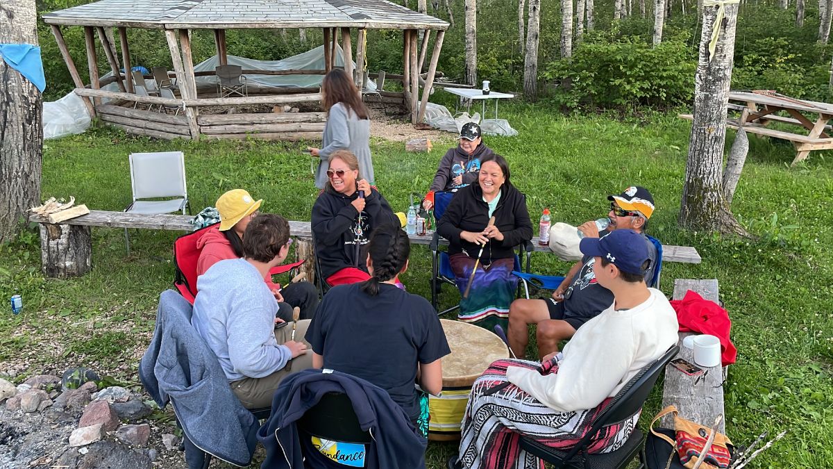
For centuries, Indigenous people made their homes and livelihoods in the area.
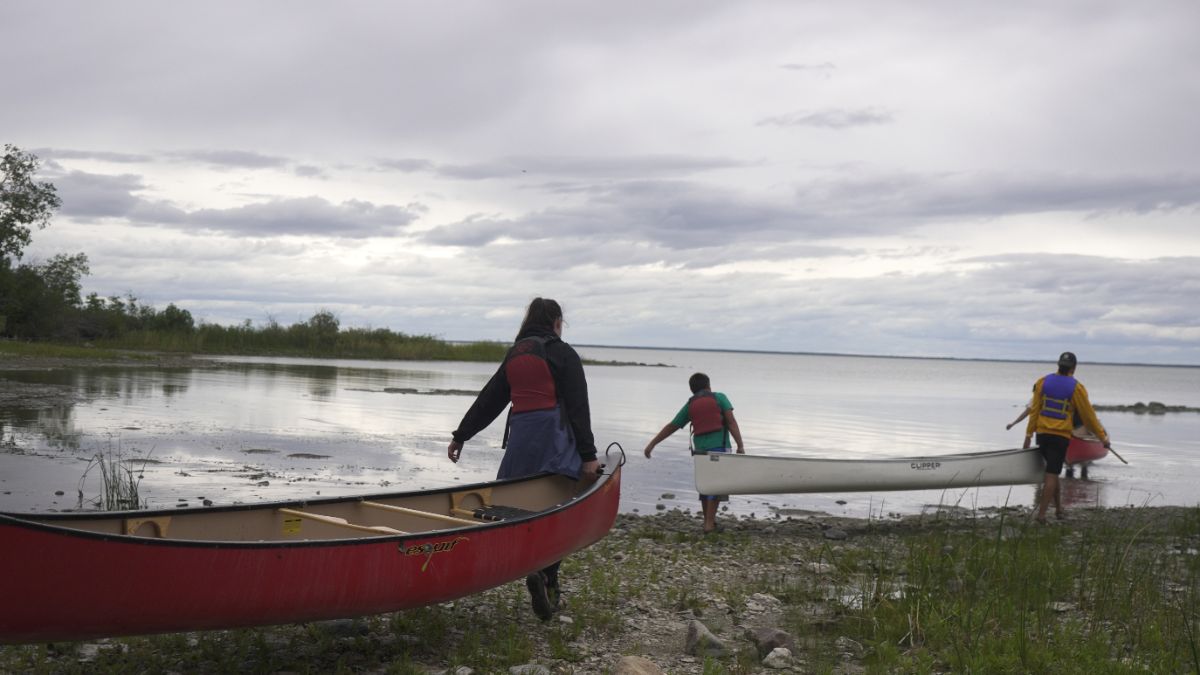
They were joined by settlers whose families have lived in the region for generations and newer residents who were attracted by the quiet forests and fish-filled waterways.
Thousands of Manitobans now visit the region as cottagers, campers, and day-trippers.
As the region continues to develop, we need a plan for how to balance development with the conservation of natural spaces, land-based practices and traditional cultural development. To this end, Fisher River Cree Nation, Kinonjeoshtegon First Nation and Peguis First Nation have partnered to develop a conservation plan for the region that supports these goals, and involves the participation of their neighbours and other communities in the region.
Why Here? Why Now?
The southeastern Interlake is at a critical crossroads, with a limited opportunity to balance conservation and development in a way that protects lands, waters, and communities for the future. Without proactive, landscape-scale planning, the region risks following a pattern seen across southern Manitoba and globally, where incremental, uncoordinated development has led to widespread loss of natural areas.
Today, roughly 75% of the planet’s land has been altered by human activity, and remaining natural habitats are increasingly fragmented. Habitat loss is the leading driver of species decline worldwide. The history of the Tallgrass Prairie illustrates how this occurs: once stretching from southern Manitoba to Texas, it has been reduced to less than 1% of its original extent due to cumulative land-use decisions made without coordinated planning.
Similar pressures now face the southeastern Interlake. Continued piecemeal development could disrupt critical ecosystems that support wildlife, maintain water quality, and sustain the region’s economy and quality of life. Once these systems are degraded, restoration is costly, complex, and uncertain, as seen in regions now investing heavily in restoration and rewilding after extensive ecological loss.
However, the southeastern Interlake remains in a strong position. Significant natural areas are still intact, and local organizations, including the East Interlake Watershed District, have already laid groundwork through watershed management planning and community engagement.
The Conservation Areas Initiative builds on this foundation, promoting a coordinated approach to land-use planning that integrates conservation and development. Acting now is essential. With increasing development pressures and ongoing wildlife declines, delay will reduce options and increase risks.
By planning at a regional scale and taking a proactive approach, the southeastern Interlake can protect its natural systems while supporting sustainable economic growth—ensuring long-term benefits for both people and nature.
Ecological Features
Habitat
Habitat for 48 species of conservation concern, including several endangered or threatened species.
Migration
Important migratory bird habitat and several Important Bird Areas.
Carbon Sequestration
Peatlands absorb carbon like a sponge, which keeps it out of the atmosphere.
Water Filtration
Extensive wetlands that help filter water entering Lake Winnipeg.