About
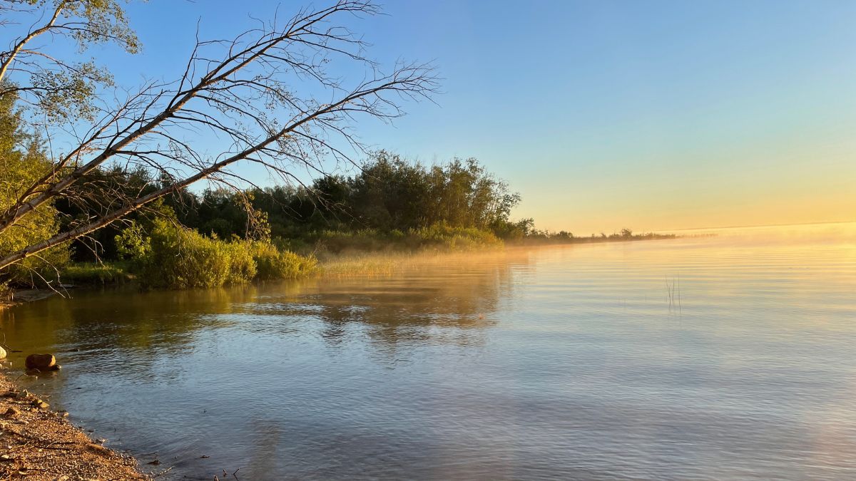
The initiative focuses on safeguarding one of Manitoba’s most ecologically and culturally important regions—home to diverse communities, rich traditions, and popular recreation. Its forests and wetlands play a crucial role in protecting Lake Winnipeg by filtering nutrients, reducing flooding, and storing carbon, while also supporting 48 species of conservation concern and serving as key habitat and migratory stopovers for birds and wildlife.
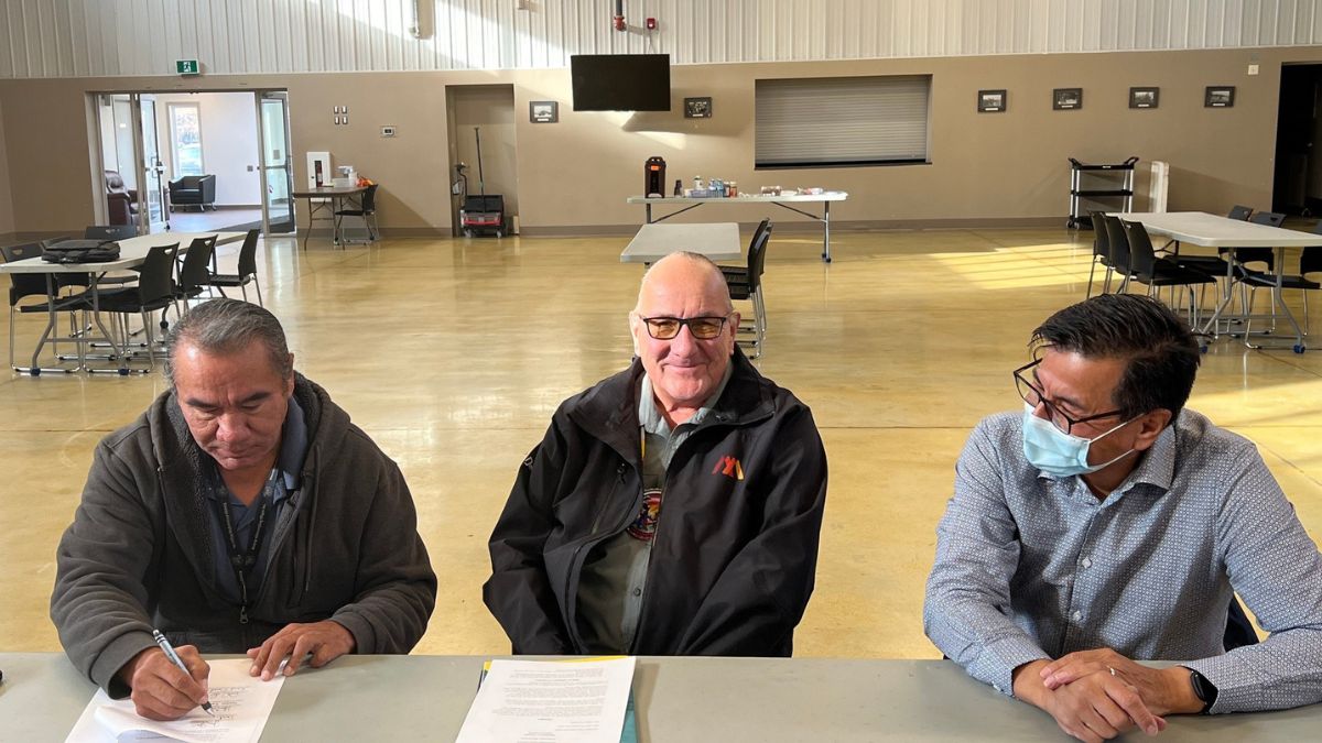
The Conservation Areas Initiative is a community-led, regionally tailored effort grounded in made-in-Manitoba approaches to protecting natural landscapes, cultural heritage, and the long-term economic future of Manitoba’s southeastern Interlake region. The Initiative is led by Fisher River Cree Nation, Kinonjeoshtegon First Nation, and Peguis First Nation, with support from the Manitoba chapter of the Canadian Parks and Wilderness Society. It builds on years of critical collaborative conservation work, expanding on the original vision that led to the establishment of Fisher Bay Provincial Park in 2011.
The southeastern Interlake is one of Manitoba’s most ecologically and culturally significant landscapes. This report outlines a framework to protect the forests, wetlands, waters, and shorelines that sustain the region’s environmental health and community well-being.
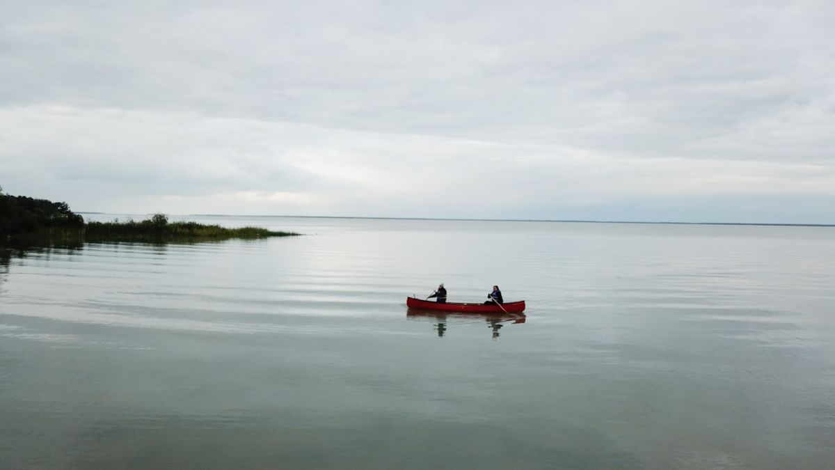
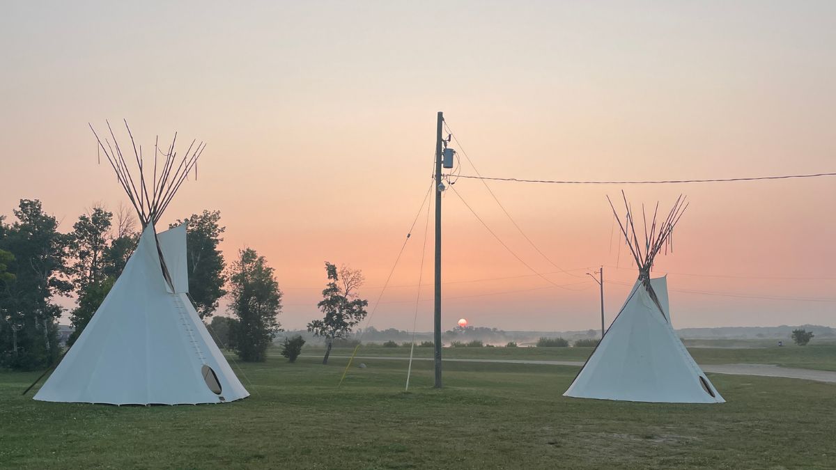
For centuries, Indigenous Peoples have lived, worked, and cared for these lands and waters. They were later joined by settler families whose roots in the region now span generations, as well as newer residents drawn by the quiet forests, open prairies, abundant fisheries, and economic opportunities. Today, the southeastern Interlake is home to a rich diversity of cultures, livelihoods, and traditions. Each year, thousands of Manitobans visit the region to hunt, fish, camp, cottage, and explore.
The region’s forests and wetlands play a vital role in restoring and protecting the health of Lake Winnipeg. Acting as natural filters, they reduce the flow of excess nutrients into the lake, help mitigate flooding, and store significant amounts of carbon.
The lands and waters within the study area provide habitat for 48 species of conservation concern, including 18 listed as endangered or threatened. These include the red-headed woodpecker, trumpeter swan, Canada warbler, piping plover, little brown myotis and northern myotis bats, and the monarch butterfly, among others. The region is also a critical migratory stopover for ducks, geese, and other waterfowl. It contains three Important Bird Areas, Riverton Sandy Bar, Louis Island, and Gull and Sandhill Island, as well as several other significant waterfowl habitats.
The Engagement Process
The purpose of this engagement process is to ensure that the voices and wishes of Manitobans-especially area residents, Indigenous Peoples, local communities, and regional stakeholders-are considered when determining which areas should be conserved within the study area.
The following documents summarize what we heard during Round 1:
Letter from Chief Crate
"When I was growing up, the Fisher River was so clear you could see pebbles on the river bed. Our lakeshore beach used to be filled with people enjoying the cool, clean water. Our boats would come back to shore with enough fish to earn a good living. Our forests were filled with moose and deer to feed our community.
Today, algae has sullied Lake Winnipeg. Our beach is eroded. Our river is dirty and no longer fit for swimming. The moose are nearly gone. Many of the wetlands which once served to filter the water entering Lake Winnipeg have been lost.
We need a comprehensive plan to responsibly manage our land and water so our grandchildren’s grandchildren can enjoy the lifestyle many of us take for granted. We need to create new jobs and opportunities so our children stay close to home instead of leaving us for the bright lights of the city.
Our aim is to support and complement the Fisher River Integrated Watershed Management Plan and the Icelandic River and Washow Bay Creek Integrated Watershed Management Plan. The plans were developed by the East Interlake Conservation District in partnership with watershed residents, local municipalities, Fisher River Cree Nation, Peguis First Nation and the Province of Manitoba.
Fisher River Cree Nation is leading the Conservation Areas Initiative to develop a conservation plan for our region that will support many watershed management goals and spur sustainable economic development.
The study area consists of more than 934,000 hectares within the south eastern Interlake Region stretching from Riverton in the south to Kinwow Bay Provincial Park in the north. We do not expect every piece of this area to be protected: we are studying the broad needs of the region in order to develop an appropriate and balanced conservation plan.
The area we are studying is Fisher River Cree Nation’s Traditional Notice Area."
"We are doing this so our grandchildren’s grandchildren will be able to hunt, fish and hike in the region. We are asking our neighbours to help us determine the best way to protect the beauty and natural richness of our region. The conservation plan we eventually propose to the government will contain no significant restrictions on recreational or subsistence activities such as hunting and fishing."
Supporters
This initiative is led by Fisher River Cree Nation, Kinonjeoshtegon First Nation, and Peguis First Nation, in partnership with the Manitoba chapter of the Canadian Parks and Wilderness Society (CPAWS). The initiative has the support of the Province of Manitoba and the Government of Canada.