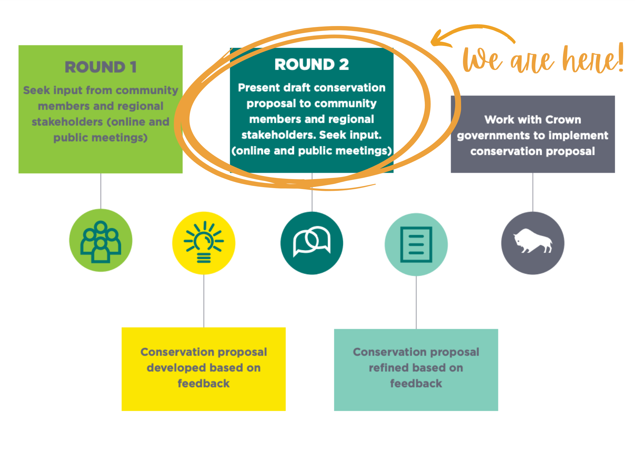
The project team is currently analyzing results from: more than 450 survey responses; 21 interviews with knowledge keepers;
and 27 meetings with rightsholders, community leaders and regional stakeholders. We will be sharing the draft conservation proposal in the coming months.

We are not the only people who love this land. So we are asking our neighbours to help us determine the best way to protect the beauty and natural richness of the southeastern Interlake.
Is there a river where you love to fish? A favourite bird watching spot? A beach where your kids build sand castles? A marsh where you set up duck blinds every season?
We all have things we cherish, and want to keep safe for our children and for our grandchildren.
Tell us where those special places are, and we will do our best to protect them.
We will use these comments to help us develop a draft conservation proposal tailored to the specific needs of our region.
Comments will be shared with the Manitoba government and may potentially be used in promotional materials. Names will not be shared publicly without permission.
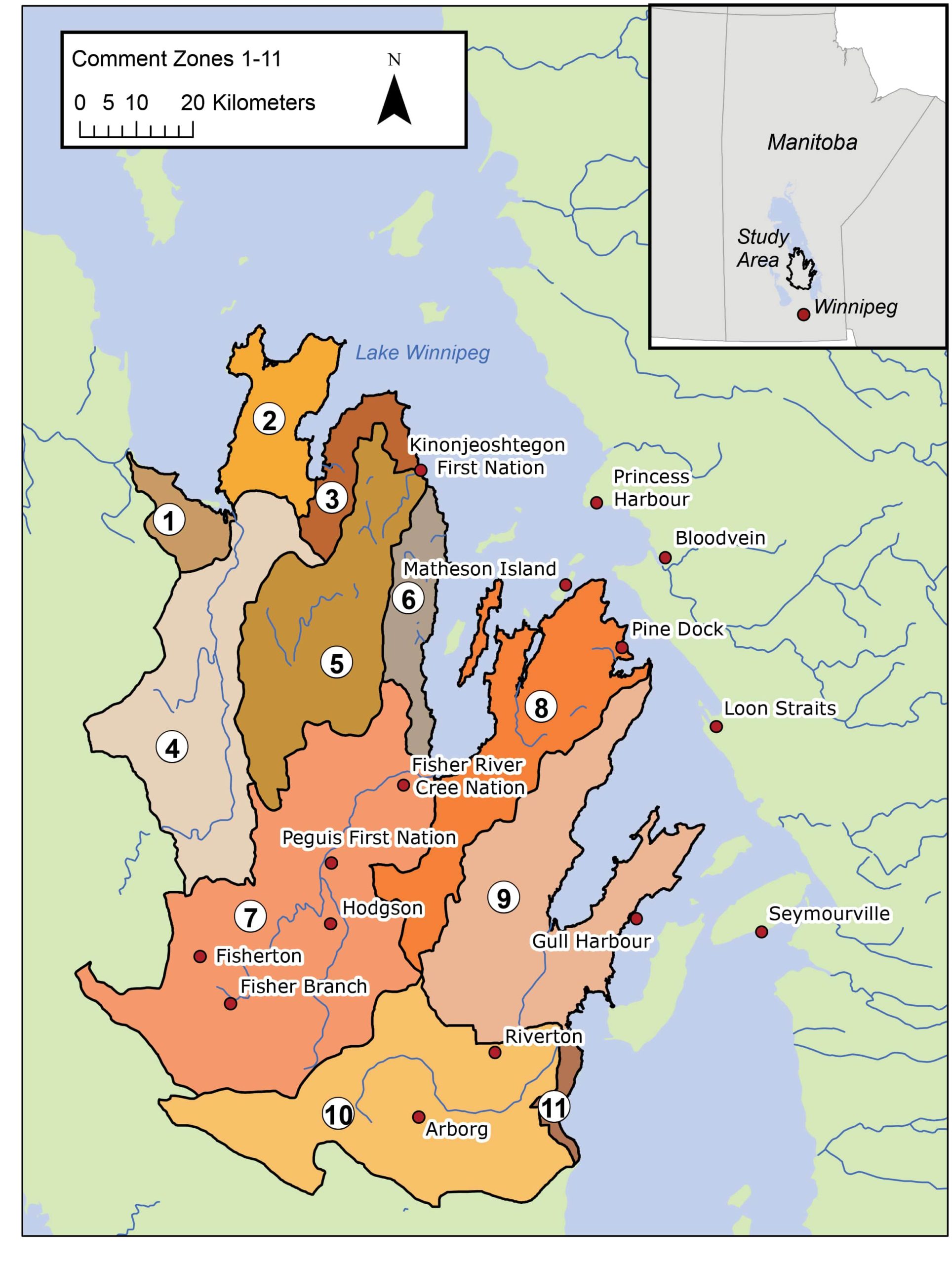
For more detailed information on the different zones in the study area, please view our map gallery and engagement package.
Do you have localized knowledge you want to share? We welcome specific feedback and have detailed maps you can use for reference.
We developed an extensive map gallery to help inform public comments. There are satellite views of the study area as a whole, and of individual zones. There area also maps showing existing land use designation, important wildlife areas, land cover, a wetland inventory, and bird banding data.
Please feel free to reference specific maps or zones in your comments.
You can download the maps and mark them. Those maps can be submitted by mail at the address below or by email at [email protected]
If you have any questions or concerns, please feel free to contact Project Manager Neil Bailey at [email protected] or 204-308-0156.
Study Area: Map of Comment Zones

